Galiano Community School
Galiano Community School
Explainer
| No current data available. |
Last 24 Hours / Last Week / Last Month
See larger images | See Grade 4 Plots
Extreme Values | Current Summary
| 4 May | Lowest °C | Average °C | Highest °C | Today °C |
|---|---|---|---|---|
| Minimum | 5.5 | 8.1 | 11.8 | |
| Average | 9.1 | 11.5 | 16.7 | |
| Maximum | 11.2 | 15.6 | 22.9 |
Last Rain Observed: 0.8 mm on 2024-07-30 (643 days ago).
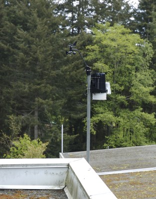
Station installed: 2007-05-03. ID: 114
Galiano Island, BC